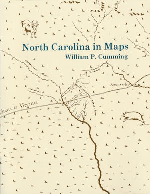
North Carolina in Maps
By William P. Cumming
44 pp., 8.5 x 11, 4 maps, notes, 4 halftones
-
Paperback ISBN: 978-0-8652-6257-7
Published: January 1966
Buy this Book
This title is not eligible for UNC Press promotional pricing.
Distributed for the North Carolina Office of Archives and History
Presents a detailed introduction to each of the following maps: White 1585 MS, White-DeBry 1590, Mercator-Hondius 1606, Comberford 1657 MS, Ogilby-Moxon ca. 1672, Moseley 1733, Collet 1770, Mouzon 1775, Price-Strother 1808, MacRae-Brazier 1833, Colton 1861, Bachmann 1861, U.S. Coast Survey 1865, Kerr-Cain 1882, and Post Route 1896.
About the Author
William P. Cumming was a longtime member of the Department of English at Davidson College.
For more information about William P. Cumming, visit
the
Author
Page.
Quick Links
Related Books